
Local News
New flood-fighting technology
By 
Publisher
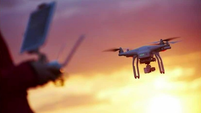
Fargo, North Dakota – North Dakota officials are using drones to monitor potential flood dangers. Drones outfitted with cameras and other sensors are being used to collect information on water levels, flow rates, and flood conditions in difficult-to-reach regions.
While this technology is essential for flood tracking and conditions, those behind the drones say they hope to see them used in as many good ways as possible.
According to Erin Roesler, Director of Operations at the UAS test site, while drones are useful in flood relief, they can do much more for the community.
“We’re just touching the tip of the iceberg when it comes to this technology,” Roesler said. “Whoever has the idea of what they can do with this new cool widget on top of this drone, we’re here to help.”
Drones are being used for more than just flood monitoring in North Dakota. Drones are also utilized for wildlife protection, search and rescue, and agricultural surveillance. Drones equipped with infrared sensors, for example, may detect changes in crop health and soil moisture levels, allowing farmers to make more informed decisions about whether to irrigate and fertilize their crops.
Drones can also be used to evaluate wildlife populations and habitat conditions, assisting conservationists in the protection of endangered species and ecosystems.
“We’ve seen them being used for city and county engineers in multiple ways,” Roesler said. “Whether they’re tracking an oil spill or working on outages, those vantage points of view can change a lot of things.”
Drones have also been utilized successfully in law enforcement and search and rescue operations in recent years, helping to keep officers safe during unmanned missions.
“We’ve been working diligently for 10 years on some of these projects,” Roesler said. “Keeping people safe with this type of technology is a nice little extra.”